
Home
/
Hema Western Australia State Map Multicoloured
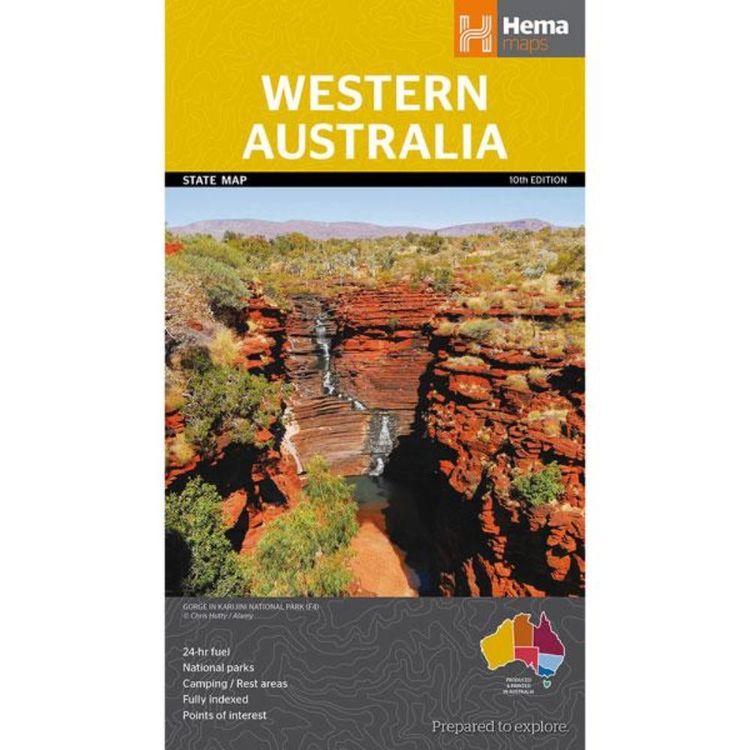
Hema Western Australia State Map Multicoloured
Quantity
-
Detail
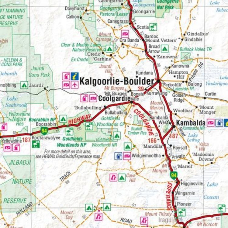
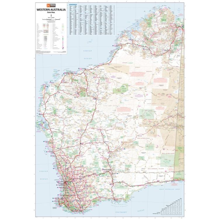
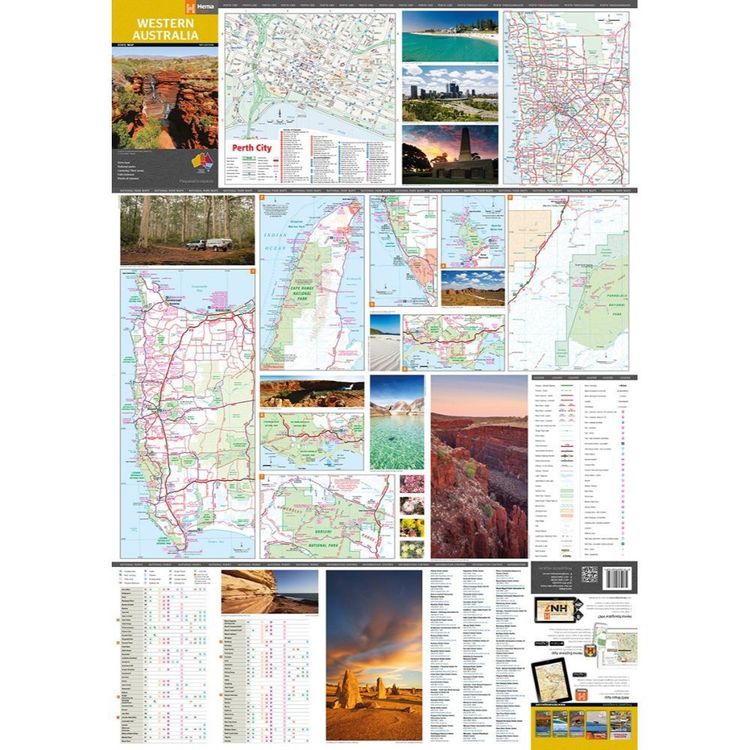
A map of Western Australia (WA) for touring throughout the state that has camping and rest areas, 24-hour fuel and points of interest marked on the mapping. On the reverse are CBD and through road maps of Perth in addition to inset maps of Leeuwin-Naturaliste National Park, Cape Range National Park, Nambung National Park, Francois Peron National Park, Purnululu National Park, Walpole-Nornalup National Park and Karijini National Park. Also included are listed national parks and information centres within Western Australia.
- Features
- Full map of Western Australia
Major road networks and distances marked
Includes CBD and throughroad maps of Perth
Detailed National Park maps included
Rest areas and visitor information centres featured
- Material
- Paper
- Dimensions
- 100 x 70 cm
- Packed Dimensions
- 25 x 14 cm
- Contents
- 1 folded map
- Primary Activity(s)
- Travel
Caravanning
- EAN 9781865008752, 9321438001553
-
Customer ReviewsNo comments